READ MORE
Simple & sophisticated
Integrated LR Data
Easy access to location data
Support on hand
Key Features

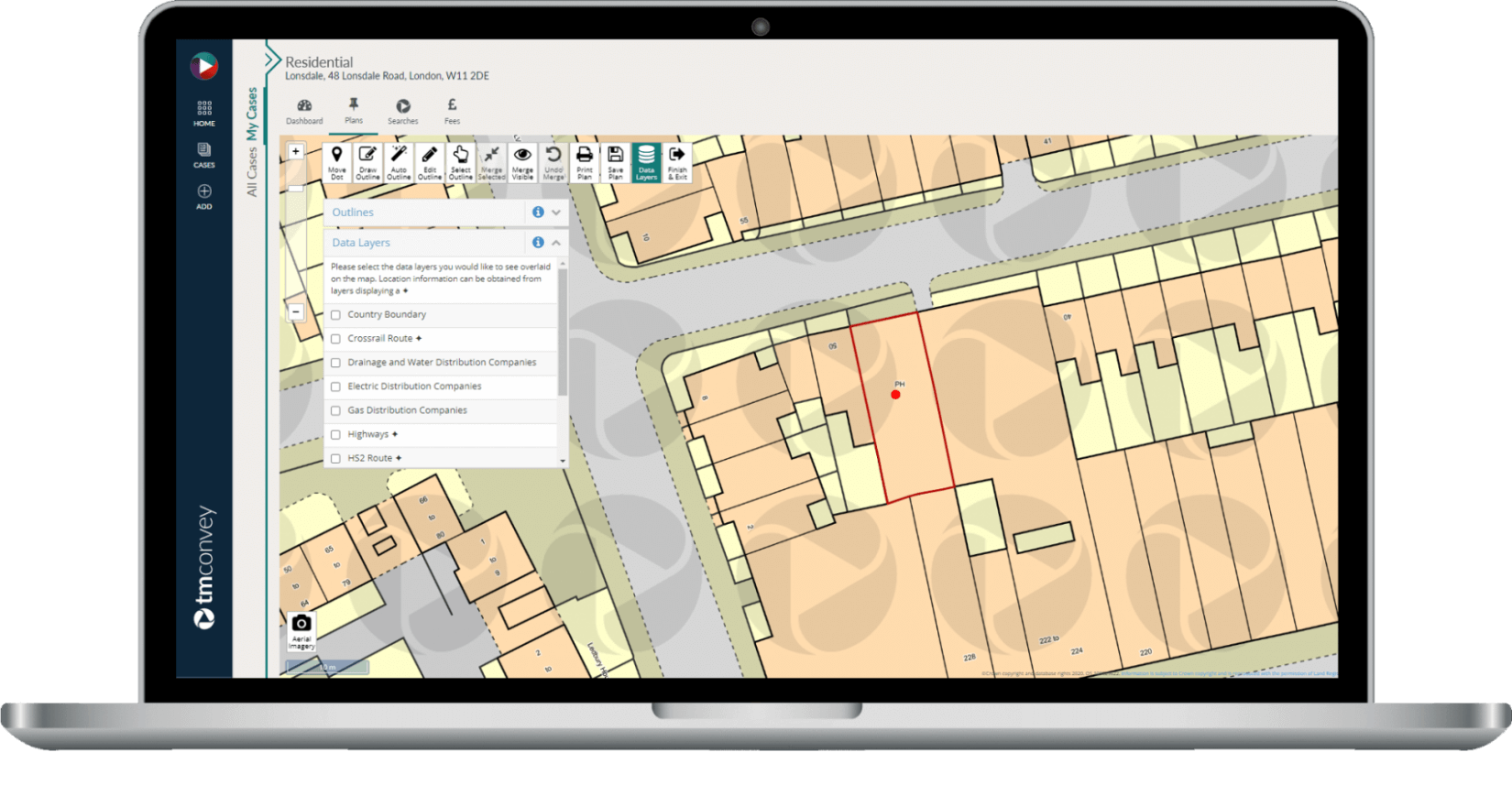
From automatically outlining a property through to accessing detailed information on title, our mapping and data services save your team time when processing residential property transactions. Complete with a simple user interface, including colour-coded title layers, we make it quick and easy to map out every case.

MAKE INFORMED DECISIONS FROM THE OUTSET

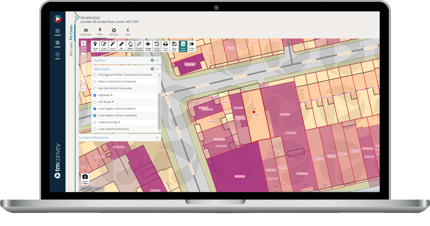
Aerial imagery, tenure boundaries, Local Authority boundaries, and more, help you quickly establish whether a property is registered. You can also view the location of a registered property, and obtain title numbers, details of freehold or leasehold tenure, and other registered interests.

ONE SYSTEM. ONE LOGIN.

We use verified data from the Land Registry to display title boundary outlines, which saves you having to log into two different systems.

ORDER DIRECTLY FROM A MAP

Our Map Search service makes it quick and easy to carry out title investigation by letting you create cases and order titles directly from a map.

AUTOMATIC PROPERTY AND ROAD OUTLINING

Save minutes per case by skipping the need to manually draw property outlines. Once a property location has been identified, you'll be presented with an outline of that property and adjoining roads, where possible – based on the Land Registry’s dataset.

EVEN MORE INFORMATION UPFRONT

See a more comprehensive view of each property, thanks to our ever-expanding list of data layers, including Crossrail and HS2 data, listed buildings data, highways data, and more.

T

“tm's data layers are amazing! To be able to have details of the drainage, electrical, and gas distributors at the click of a button is such a help for us. Being able to check the highways layer and see at first glance whether there may be any issues allows us to manage clients' expectations at a much earlier stage of the transaction too.”

Penelope Meadows, Solicitor, LSC Finance Ltd
Testimonial